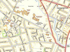
Ordnance Survey maps are based around the cannons located in Roy Grove, Hampton, and on the Northern Perimeter Road by Heathrow Airport five miles away.
These cannons have been used as a base line for triangulation used on Ordnance Survey maps since they were installed in 1784.
Nearest stations:
OG: Hampton 1.25kmOG: Fulwell 1.38km
OG: Strawberry Hill 2.3km
Website:
Ordnance Survey Cannon Opening Times:
24 hoursAlways check details regarding opening hours, accessibility and pricing before travelling.